Royal Roads student maps Lekwungen names for Victoria’s landmarks
Melinda Quintero's thesis project challenges Victoria's current tourism approach.

Do you know the original name of the place you’re currently standing? The stories or history there, from hundreds to even thousands of years ago?
Take the Empress Hotel, for example. The land where it was built is called Whosaykum, known as “the place of the mud” in Lekwungen—it’s no wonder that the hotel sank by up to four feet in the first 10 years after opening. It was once a spot where First Nations would harvest crabs.
When Melinda Quintero first moved to Victoria from the US, she thought she could explore the rich history of the capital city—including its pre-colonial past. But she couldn’t find any websites, tools, or books with all of this information in one place.
“I was starting to get to know the city for myself, just being naturally into travel and into history, and wanting to know about places where I live,” said Quintero.
She says it’s about time Victoria shakes off the long-standing notion that it’s the “most English city in North America.” Having spent her career as an editor for travel books and tourism guides, she began ideating what she would want to learn about her new home.
“I figured, well, if I was going to write a travel guide about Victoria, I'd want to include a lot of information about Indigenous businesses, Indigenous history, Indigenous culture,” she said.
Having seen thorough maps created with Indigenous place names—like the map created for the entirety of Nova Scotia or Salt Spring Island—she wondered why the Island didn’t have something similar.
So the Royal Roads University student, currently working on her master’s degree in tourism management, decided to develop a map of Greater Victoria, highlighting landmarks with the Lekwungen (lək̓ʷəŋən) place name. The map spans the shoreline of Cadboro Bay to Millstream, highlighting key areas where the Esquimalt and Songhees Nations lived.
Quintero says she’s mindful of her place as a settler on the Island. She’s not looking to lead initiatives on Indigenous history—there are plenty of local Indigenous knowledge keepers and historians paving the way on this front—but she hopes her project will spark a conversation about the way the city is viewed by residents and visitors alike.
Her map pulls from papers and research by Indigenous scholars and academics, as well as publicly available information. She works alongside Shauneen Pete, chair of the Emerging Indigenous Scholars Circle at Royal Roads, who acts as her thesis committee member and has advised her on ethical approaches to her research.
“The idea is just to show how much is out there and how much is shared with the public,” she said. “We can find so much information that's shared and has been maintained over the last few centuries by Indigenous people for the land where we live now.
“For me, it shifts the way that I think about the place.”

A prototype of Quintero's map. Image courtesy of Melinda Quintero.
The map doesn’t provide groundbreaking historical findings, but is instead a collection of existing knowledge from local First Nations—and there’s no shortage of facts to pull from.
“It was sort of overwhelming the amount of information that was available in terms of Indigenous place names that are out there in the public sphere,” she said.
One notable place is in the Gorge, where an important Lekwungen creation story took place. As the legend goes, a young girl namedCamossung had a particular appetite for duck, herring, coho, and oyster—and it was her craving for them that led these animals to be abundant in the water. Camossung and her grandfather were turned to stone to forever look after the food resources for the Songhees and Esquimalt people.
Unfortunately, the sacred stones that represented Camossung and her grandfather were blasted in the 1960s to help water in the Gorge flow more easily. The remainder of the stones are mostly underwater now, but can sometimes be seen just south of the Tillicum Bridge at low tide. Camossung is still considered the guardian for the area and a statue depicting her can be found in Gorge Waterway Park.
Quintero says “part of the confrontation of looking at and learning Indigenous place names” involves coming to terms with the cruel destruction of Indigenous cultures that cleared the way for Victoria to exist.
The breadth of information available led her to pump the brakes on the geographical range covered. With limited time to create her thesis, she wasn’t able to dive into WSANEC lands on the peninsula or Hul'qumi'num names in the Cowichan Valley. She instead zeroed in on Victoria.
But that doesn’t mean future mapping couldn’t be more expansive. Quintero’s map currently exists as a thesis—creating a map as detailed as the one for Salt Spring could take years, even decades, she said. Quintero has spent 18 months developing her current prototype and hopes to complete it this year, along with her master’s degree. The map is not expected to be public for now, but rather serves to encourage more people in the South Island tourism sector to consider the stories they can tell.
So far, she has more than 100 names mapped out, mostly along the shorelines, but with some landmarks inland. Existing maps and resources aren’t nearly as comprehensive, but can provide a glimpse into some of these places—a small map shared by SD61, the Victoria School District, showcases 14 notable places in the city with the original Lekwungen name. Some Lekwungen placenames can be found on First Voices, a platform for Indigenous language revitalization.
Quintero says tireless Indigenous advocacy has helped bring official and permanent name changes to some important landmarks—the renaming of Mount Douglas in 2022 to its original SENĆOŦEN name, PKOLS, is one example of this advocacy. In 2018, information maps installed downtown shared Lekwungen names for the tourist hub, much to the approval of the Esquimalt and Songhees Nations.
This week, the province introduced legislation to amend the Protected Areas of British Columbia Act, renaming Maquinna Marine Park near Tofino to Nism̓aakqin Park, meaning “our land that we care for” in Nuu-chah-nulth.
With time, there could be more landmarks bearing their original Indigenous names. Quintero hopes her thesis map is a stepping stone on the way to this reality.
The 7am habit · free
Tomorrow, wake up already knowing Victoria.
One email at 7am, every weekday. What city hall decided, the place that just opened on Fort Street, the thing the whole Island will be talking about by noon — in a five-minute read, written by people who actually live here.
Independent Victoria news · 50,000 readers · unsubscribe anytime
The newsletter is free. The reporting isn’t.
Members fund the reporters who sat through that council meeting so you didn’t have to — $10/month keeps Victoria’s daily reading independent.
Wednesday deep dive · ad-free audio · early guides
Was this worth your morning?
- Food
.jpg)
Hey Happy to open new location on Cook
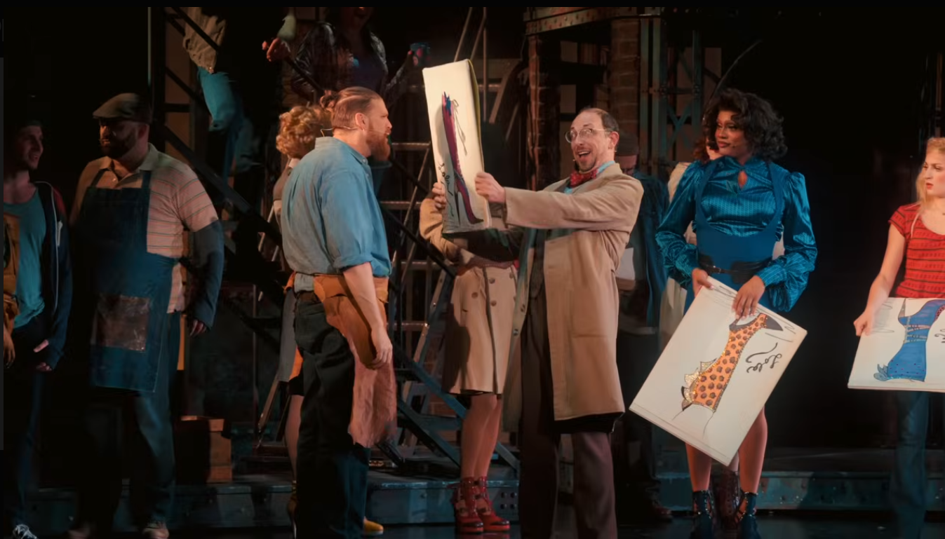
Kinky Boots struts into the Royal Theatre this month. Screenshot courtesy of the Royal Theatre, Kinky Boots and YouTube.
EventsEvents happening in Greater Victoria this July
- Sponsored
This Canadian Neurologist-Built App Wants to Make Sure You Never Forget What Your Doctor Said